

Extreme July heat threatens North Texas with pop-up severe storms ahead
Dallas weather: July 7 morning forecast
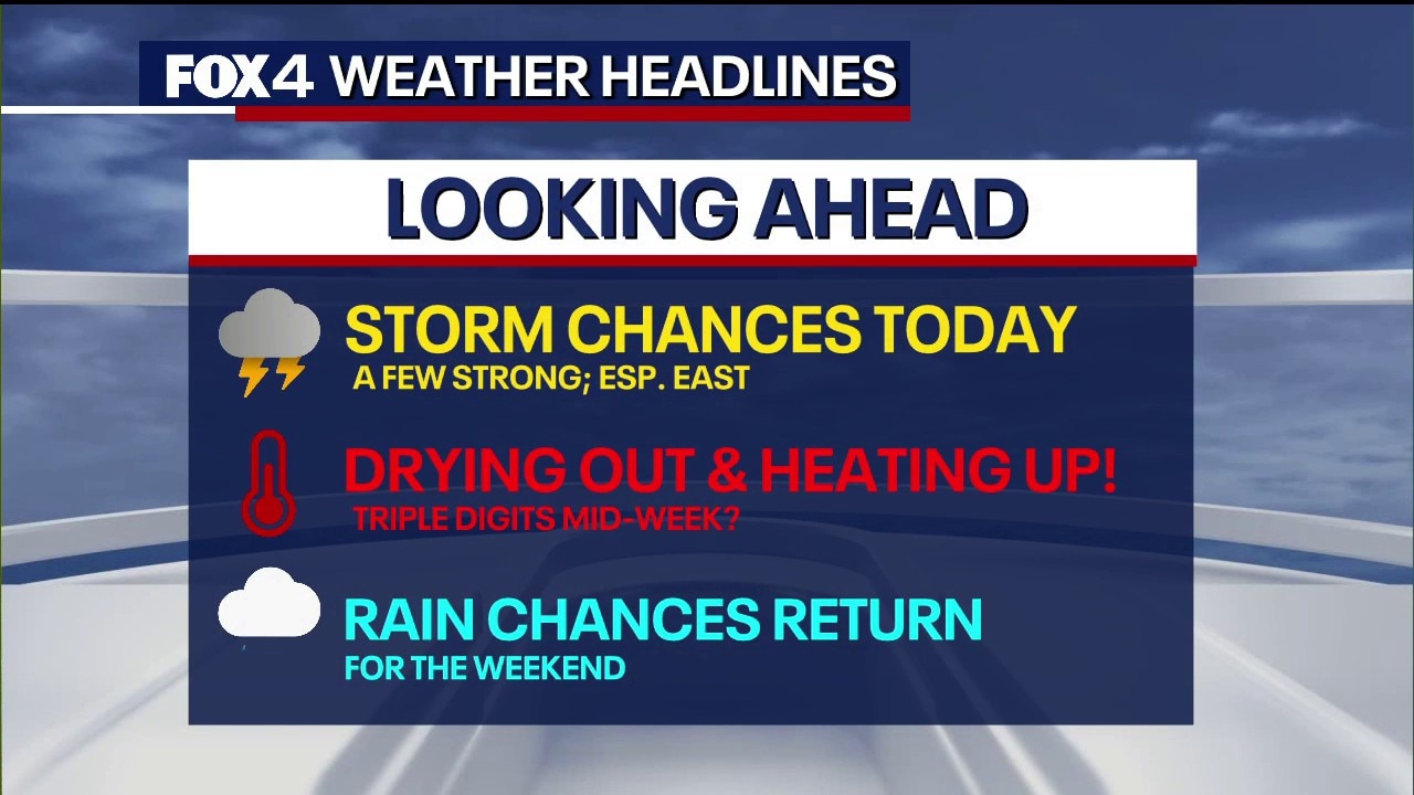
Scattered showers and storms expected this afternoon into the evening. A few will be strong, with gusty downburst winds. Marginal risk for 60+ mph winds. Highs mid to upper 90s. Much lower rain chance Wednesday through Friday with highs near 100.
DALLAS - A prolonged summer heat wave is settling over the region, pushing temperatures near the triple-digit mark and threatening to break a newly elevated normal high temperature of 95 degrees.
DFW weather
Timeline:
Afternoon highs are expected to hit 98 degrees Tuesday and Wednesday before hitting 100 degrees on Thursday. The relentless warm-up comes as the region's climate baselines shift; the normal high temperature for this time of July recently increased by one degree to 95.
Despite the intense heat, scattered afternoon and evening thunderstorms offer a slight reprieve for some, though they bring threats of localized flash flooding and damaging winds.
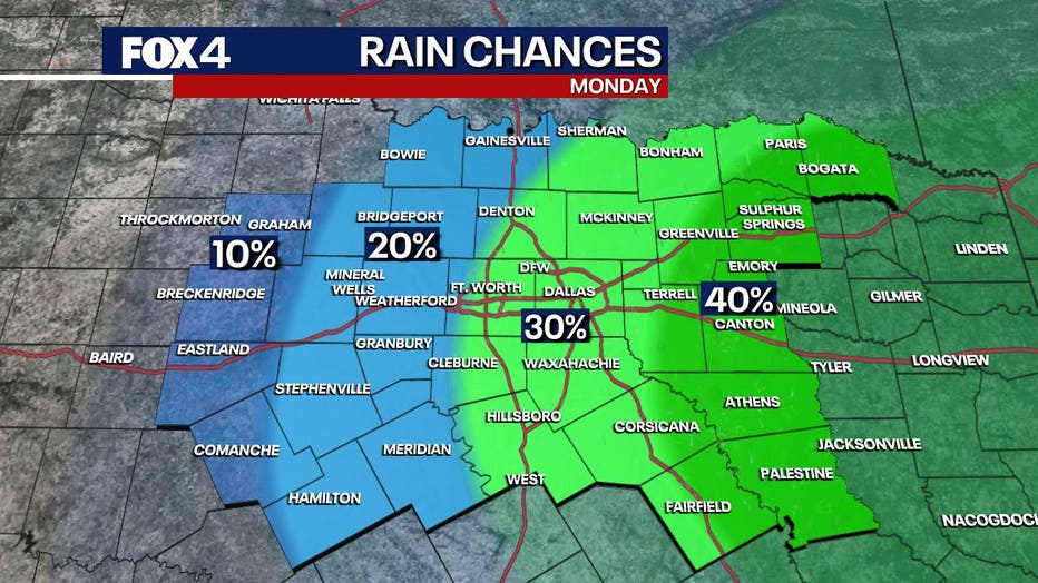
A marginal risk for severe weather remains in place Tuesday, with the highest storm coverage expected east of the Interstate 35 corridor. Forecasters warned that while hail is unlikely, these slow-moving storms are highly efficient rainmakers. Early Tuesday morning, heavy downpours had already triggered a flash flood warning in southwestern Delta County near Cooper, while lingering lightning and showers moved through Red River County and near Shreveport.
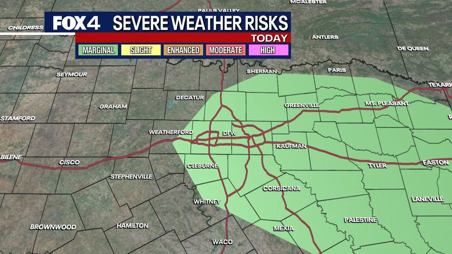
Atmospheric energy is expected to build as temperatures quickly climb from the 70s into the 80s and 90s by midday. Pop-up storms are forecast to peak between 3 p.m. and 4 p.m., potentially impacting the evening commute with heavy rain, frequent lightning, and gusty winds.
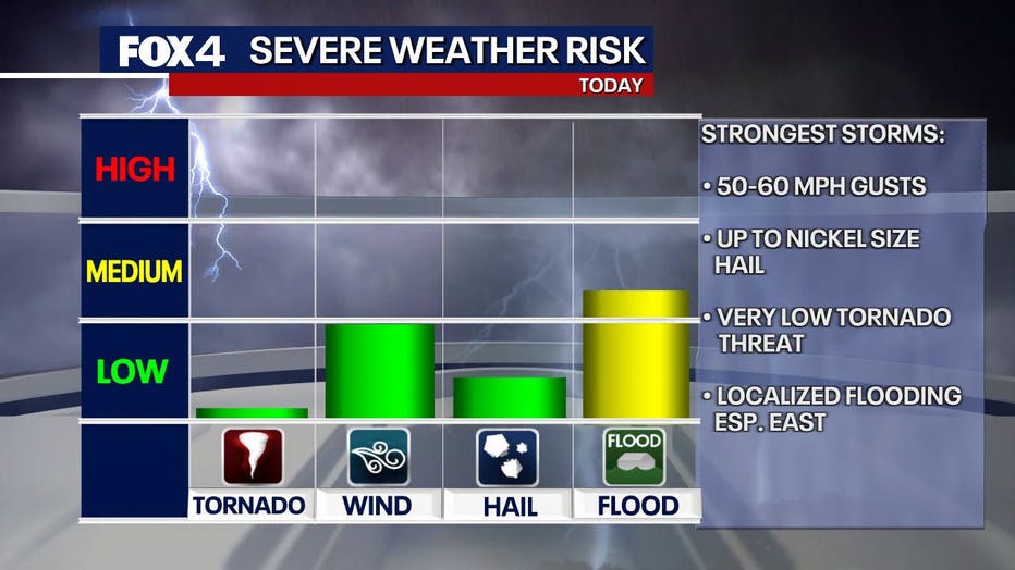
Most of the activity is expected to wind down by 9 p.m., though isolated overnight showers could redevelop north and east of the metro area after 1 a.m. Wednesday.
Live Radar
7-Day Forecast

The heat will intensify mid-week as rain chances dwindle. Forecasters have capped Wednesday’s rain chances at 10% along the I-35 corridor and 20% to the east, with highs again reaching the upper 90s. Rain chances drop to zero on Thursday, paving the way for the first widespread triple-digit day of the week.
Relief is not expected until the weekend. A shifting weather pattern late Saturday into Sunday is forecast to bring widespread showers and thunderstorms back to the region, effectively breaking the triple-digit streak and pulling temperatures back down to the seasonal normal of 95 degrees by Sunday.
The Source: Information in this article is from the FOX 4 weather team.