

Dallas Weather: Northern, western parts of DFW hit by heavy rain, storms
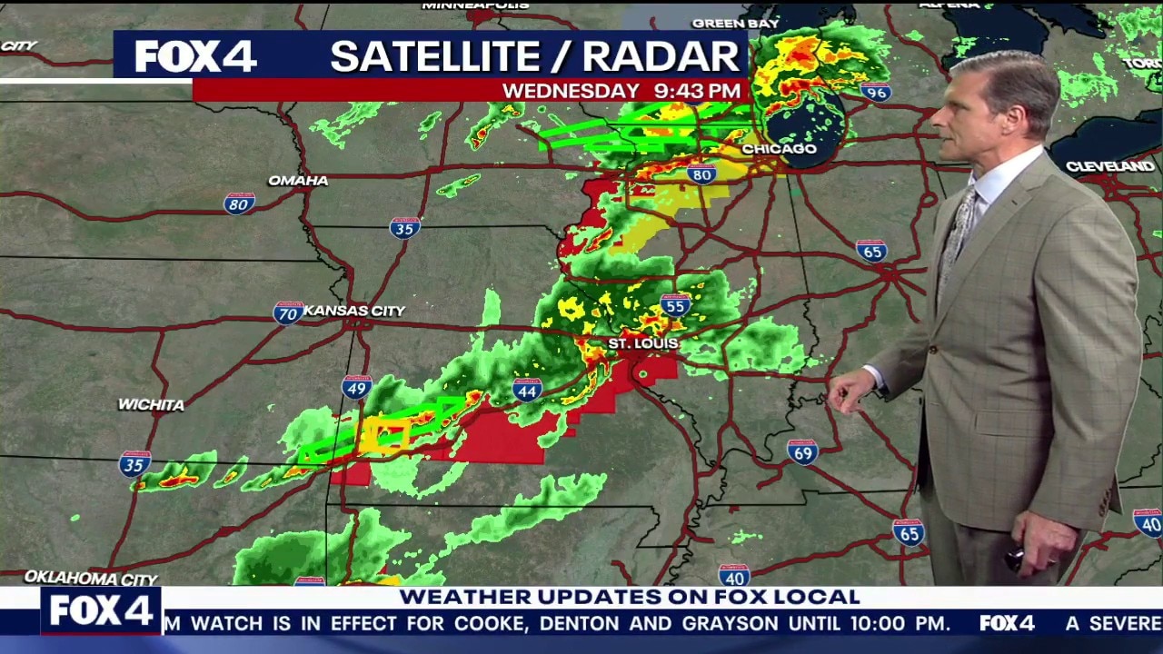
Dallas weather: Apr. 15 overnight forecast
We saw some severe weather in the FOX 4 viewing area this evening. FOX 4 chief meteorologist Dan Henry has more in this overnight forecast for April 15 in North Texas.
DALLAS - Wednesday saw another wet and stormy day in North Texas, with western and northern parts of the metroplex affected by heavy rain.
LIVE Radar: Dallas-Fort Worth

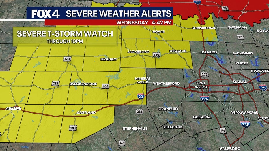
Severe Thunderstorm Watch
The National Weather Service has issued a Severe Thunderstorm Watch for Palo Pinto County, Wise County, Cooke County and Jack County through 10 p.m. Those counties are all outside of the Dallas-Fort Worth metroplex.
The strongest activity remains west of DFW. As of 5:30 p.m., a strong storm in Young County was producing hail up to the size of golf balls.
Wednesday Forecast
Another disturbance moves through on Wednesday with scattered showers and some storms.
The threat of severe weather is low, but not zero. If a storm develops, the greatest risks are damaging winds and hail, especially northwest of the Metroplex.
Any convection that develops will diminish after sunset.
7-Day Forecast
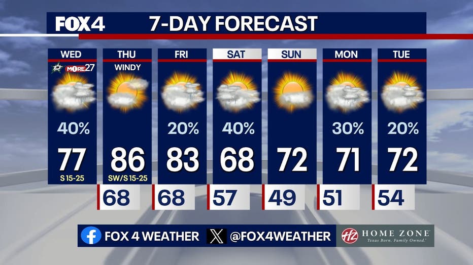
Thursday is quiet and warm, with highs in the mid-80s. The break from the rain continues with drier conditions through Friday.
Then, another front moves through on Saturday morning, bringing showers and storms.
Behind the front, the region will dry out and cool off for the rest of the weekend. The active pattern continues into next week.
The Source: The information in this story comes from the FOX 4 Weather team and the National Weather Service.