

North Texas faces intense summer heat and Saharan dust ahead of the Fourth of July
Dallas weather: June 29 morning forecast
Another stretch of hot, dry, and windy days ahead for NTX. Saharan dust is set to arrive in NTX this afternoon. This will bring hazy skies, a slight dip in air quality, and colorful sunsets.
DALLAS - While heat alerts grip more than 20 states from the Plains through the Midwest and Great Lakes, North Texas is carving out its own distinct brand of summer swelter this week.
Though local temperatures do not quite meet the strict National Weather Service criteria for official heat advisories or warnings, conditions will remain intensely hot, accompanied by a heavy plume of Saharan dust and the potential for a few spotty showers.
Monday forecast
Timeline:
Temperatures are running a couple of degrees above average, climbing rapidly through the 90s after an uncomfortably warm morning start. A common summer weather pattern is creating a distinct temperature gradient across North Texas. Because drier air heats more efficiently than moisture-rich air, western communities are seeing higher thermometer readings.
Trips to the triple digits are anticipated by late afternoon for areas like Breckenridge and Graham, while the Dallas-Fort Worth Metroplex is expected to top out between 98 and 99 degrees. Southern and eastern edges of the region will remain five to seven degrees cooler on the thermometer.
However, the humidity flip-flop means higher heat indices for the eastern side of the Metroplex, pushing real-feel values to around 102 degrees in Dallas.
Adding to the summer heat, a massive plume of Saharan dust has officially arrived in the Gulf of Mexico. Breezy southern winds will transport the dust into North Texas by this afternoon, causing hazy skies, a drop in air quality, and vibrant sunsets.

Tuesday forecast
The persistent heat pattern carries directly into Tuesday with little change. Highs across the region will comfortably settle back into the upper 90s, mimicking today's temperatures. Southerly winds will keep the air moving, and the Saharan haze is expected to linger across regional skies.
7-Day Forecast
A slight reprieve from the wind arrives Wednesday as regional air currents calm, causing a minor dip in the overall temperature trend. The break is short-lived, however, as temperatures climb back toward the upper 90s by the end of the workweek, stopping just shy of the triple-digit mark.
By Thursday and Friday, a high-pressure system is expected to break down just enough to introduce a 10% chance of very spotty rain. Any precipitation that manages to develop will heavily favor the eastern and southeastern portions of the Metroplex, where deeper moisture reserves remain available.

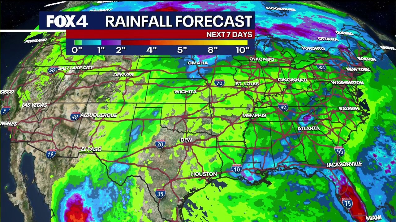
Meanwhile, a disorganized low-pressure system off the southeastern U.S. coast is expected to dump heavy rain along the eastern seaboard, though the National Hurricane Center gives it just a 10% chance of tropical development over the next week. Central and North Texas remain notably absent from any major national rain accumulation projections.
Holiday Forecast: Fourth of July
Heading into the holiday weekend, North Texas will maintain its classic summer rhythm. The active weather pattern dictating the first half of the week is expected to level out, keeping the area warm and dry.
Featured

July 4th Fireworks 2026 in Dallas-Fort Worth
Here’s a list of Fourth of July 2026 festivals, fireworks shows, parades and other events happening in North Texas to celebrate Independence Day.
Independence Day celebrations are currently forecast to feature slightly lower wind speeds compared to the start of the week, clear to partly cloudy skies, and daytime highs holding steady in the upper 90s—providing a reliably hot, dry backdrop for area fireworks and outdoor events.
The Source: Information in this article is from the FOX 4 weather team.