

Scorching heat wave pushes North Texas to 101 degrees ahead of a rain-heavy cold front
Dallas weather: July 9 morning forecast
High pressure briefly expands eastward, keeping us hot and mainly dry for the rest of the work week. Southerly winds bring Saharan dust our way as we top out in the upper 90s to low 100s.
DALLAS - A relentless heat wave will continue to bake North Texas on Thursday, pushing temperatures into the triple digits before a late-weekend weather system brings a welcome cool-down and much-needed rain.
Scorching heat continues
Thursday's high is expected to reach 101. While that remains shy of the 105 record set in 1980, it sits well above the seasonal average of 95. High pressure remains firmly in control of the region, ensuring that Thursday and Friday will extend a stretch of triple-digit days that technically began on Tuesday.
Despite the intense conditions, the National Weather Service in Shreveport has issued heat advisories primarily for eastern border areas, such as Red River County, while the majority of North Texas remains under the threshold for formal advisories. However, humidity will push heat indices into the triple digits region-wide, making it feel uncomfortable even in eastern areas where actual temperatures might peak in the mid-90s.
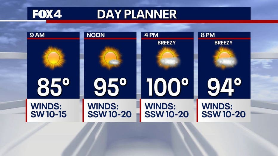
A clear, quiet radar on Thursday morning marked a stark contrast to the stormy conditions seen over the last two days in areas like Paris, Sulphur Springs, and Clarksville. Severe weather has shifted north into Missouri, leaving North Texas with bright sunshine, a south-southwest breeze gusting up to 20 mph, and a layer of hazy skies caused by incoming Saharan dust.
The scorching weather will hold through most of the weekend. Saturday is projected to be the quieter day for outdoor activities, remaining hot and dry until late afternoon.
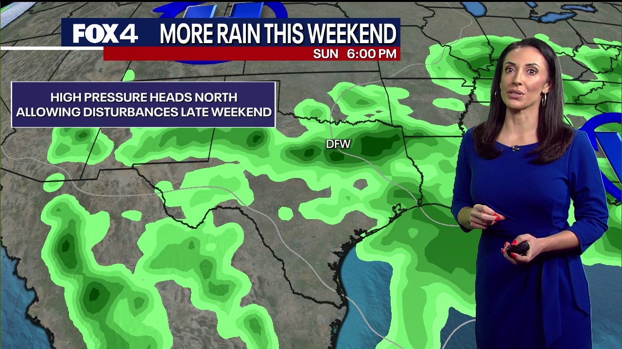
Relief is on the horizon for late Saturday night into Sunday. A cold front is projected to stall near the region, interacting with sea-breeze moisture to significantly increase storm coverage across North Texas.
7-Day Forecast

While a major severe weather outbreak is not anticipated, the incoming storms will be highly efficient rain producers, bringing frequent lightning and the potential for gusty winds.
The increased cloud cover and widespread rain are expected to drop temperatures back down to seasonal normals, with the cooler, wetter pattern projected to last through at least the first half of next week.
The Source: Information in this article is from the FOX 4 weather team.