

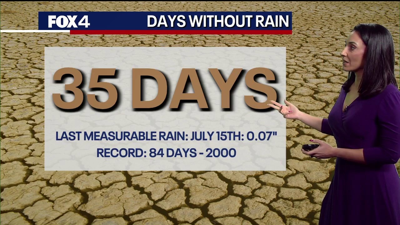
DFW dry spell hits 35 days with high temperatures reaching 105 degrees across the metroplex
Dallas weather: August 20 morning forecast
An Extreme Heat Warning remains in effect across North Texas with high temperatures near 105 degrees. Triple-digit heat will persist through early next week with low storm chances north of DFW.
DALLAS - North Texas logged its 35th consecutive day without measurable rainfall at Dallas-Fort Worth International Airport on Thursday, as extreme heat, dry soil, and elevated fire dangers continue to grip the region.
Weather forecast
The prolonged dry spell, dating back to July 15, threatens to push the region toward historic drought benchmarks if upcoming spotty shower chances miss the official recording site at DFW.

Big picture view:
High temperatures are forecast to hit 105 degrees on Thursday, marking the fourth consecutive day at or above that threshold and the third straight day reaching 105. While Thursday’s peak temperature falls short of a daily record, forecasters warn that near-record highs are likely Friday through Sunday as triple-digit heat persists into next week.
A stalled weather front along Interstate 40 will bring limited cloud cover and minor precipitation opportunities, though low energy associated with the system will keep coverage minimal. The highest likelihood for isolated showers and thunderstorms remains concentrated along the Red River and across northeastern North Texas from late Thursday afternoon into the evening.
Is it going to rain?
Rain chances stand at 20% on Friday—driven primarily by afternoon heating—before dropping to 10% on Saturday and drying out completely by Sunday.
We still have a very high to extreme fire danger for much of North Texas. Extremely dry soil conditions combined with lightning from isolated storms could spark new wildfires through Saturday.
Morning temperatures across the region reflected a wide split Thursday, ranging from 74 degrees in Mineral Wells and Stephenville to 84 degrees in Dallas, paired with southwest winds around 8 to 12 mph. Temperatures are expected to approach 97 degrees by lunchtime before reaching the daily high.
High pressure is projected to re-establish itself fully by Sunday, locking in bright sunshine and triple-digit temperatures through at least the middle of next week.
7-Day Forecast

The Source: Information in this article is from the FOX 4 weather team.