

Extreme Heat Warning: Highs expected to hit 108°
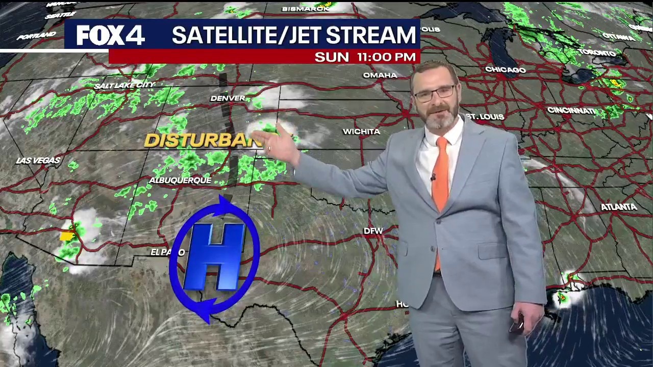
Dallas weather: August 23 overnight forecast
FOX 4's Josh Johns gives the latest weather forecast for much of North Texas and what to expect from the triple digit temperatures throughout the week.
DALLAS - Extreme heat will continue to grip North Texas this week, bringing near-record temperatures, dangerous heat index values, and only sparse relief from isolated showers.
Extreme Heat Warning
Timeline:
High temperatures in the Dallas-Fort Worth area are expected to reach 107 degrees on Sunday, with heat index values soaring past 110 degrees due to high humidity. The conditions have prompted extreme heat warnings across most of North Texas through 8 p.m. Sunday.
A shifting high-pressure system out west allowed a minor atmospheric disturbance to push spotty showers across portions of the region early Sunday morning. Thunderstorm clusters moved south of Interstate 20 toward the Brazos Valley and through southern counties including Johnson, Ellis, Hill, and McLennan.
However, coverage remains limited to about 10%, with central Dallas and Tarrant counties remaining dry. Any additional shower activity on Sunday afternoon should be brief and isolated.
The meager precipitation will do little to alleviate a worsening drought across North Texas, where Stage 1 drought conditions were implemented last Thursday.
Rainfall totals

Even hotter conditions are projected early in the week, with forecast highs reaching 108 degrees on Monday and 107 on Tuesday.
A slight cooling trend is expected by midweek as high pressure weakens. Temperatures are forecast to drop to 103 degrees on Wednesday and 101 on Thursday, with rain chances returning to 20% by late week.
7-Day Forecast

The Source: Information in this article is from the FOX 4 Weather Team.